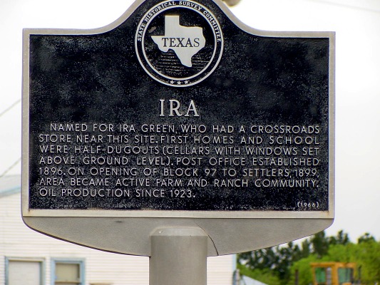
 Ira historical marker
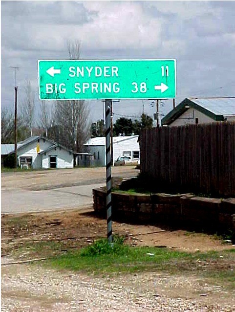 Mileage to Snyder and Big Springs
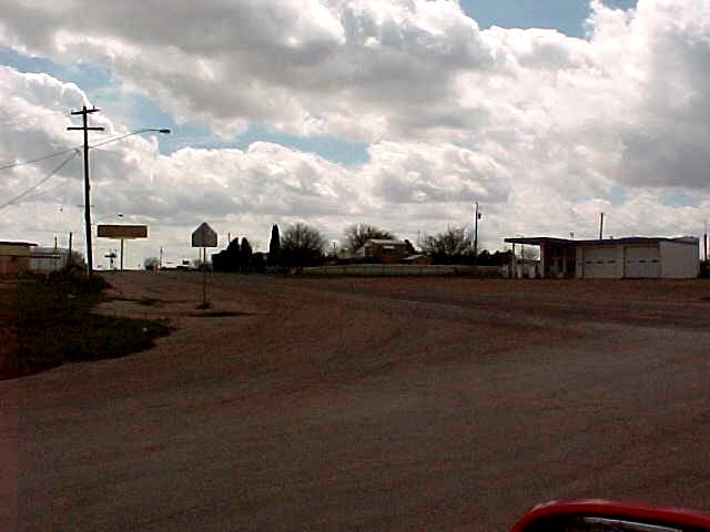 Looking southwest
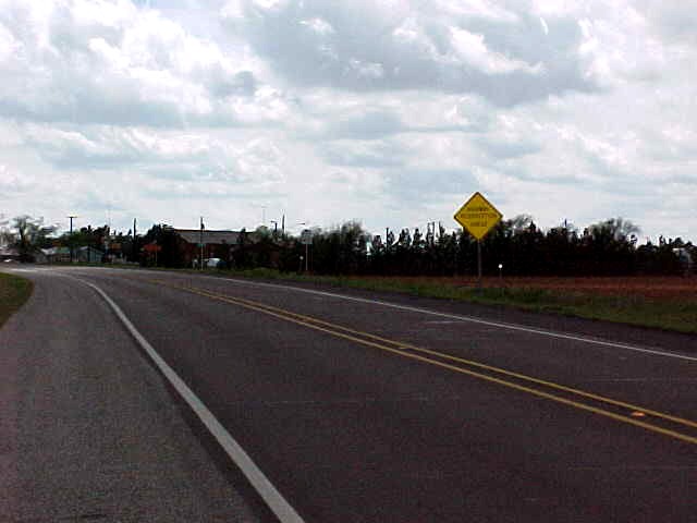 Ira street scene
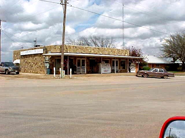 Ira store
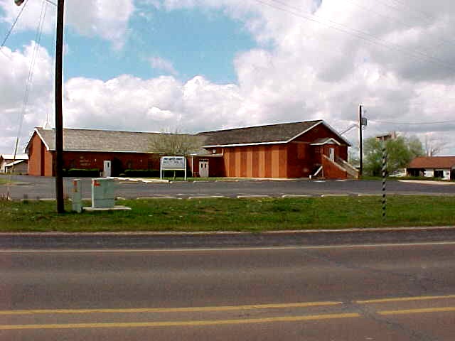 Church in Ira
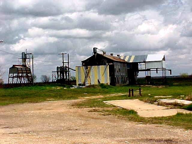 Ira cotton gin
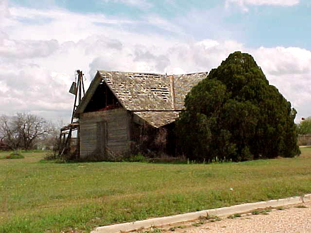 House in Ira
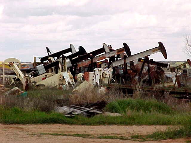 Pump jacks in storage
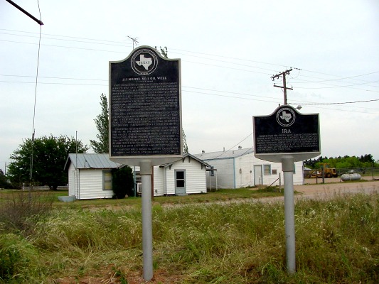 Historical markers in Ira
 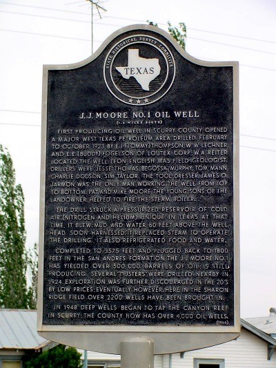 Historical marker for Oil Field
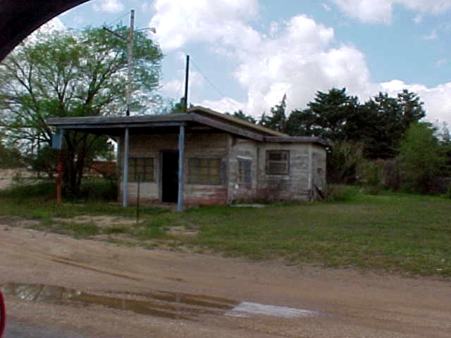 Old station in Ira
Ira Historical Marker text | Oil Field Historical Marker text
Ira, at the intersection of State Highway 350 and Farm Road 1606, in southwestern Scurry County, was named for Ira Green, who built a general store in the area sometime before 1893. The store soon became a popular meeting place and a way station and mail drop for the stagecoaches and mail hacks going north from the Texas and Pacific Railway station at Colorado City.
By 1893 Ira had its first school. When the post office was established in 1896, Green became postmaster. In 1899 new lands in the vicinity were put up for sale, and many new settlers moved to Ira. The first producing oil well in Scurry County was drilled near Ira in 1923, but the Sharon Ridge field, where the well was located, was never fully exploited. Though Ira had reached its peak in the early 1900s, it weathered the later period when many small Scurry County towns were disappearing and in 1980 reported a post office, twelve businesses, and an estimated population of 485. In 1990 its population was 250.
BIBLIOGRAPHY: Kathleen E. and Clifton R.
St. Clair, eds., Little Towns of
Texas (Jacksonville, Texas: Jayroe Graphic Arts, 1982).
Scurry County Historical Survey Committee, Historical Markers in Scurry County (Snyder,
Texas, 1969).
Noel Wiggins